Interlude: The South Downs Way. Day 5. Cocking to West Meon: 21 miles
- Jul 18, 2025
- 4 min read
Updated: Jul 19, 2025
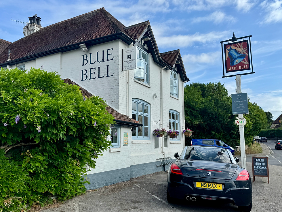
It’s an odd start this morning at the Blue Bell Inn. Breakfast is from a box in the room (who knew you could put dried carrot in cereal?) and we discover that the Cocking Village Store has closed down, so we wait to re-enter the Blue Bell Inn shop, which opens at 9.30. It’s going to be a late start today on the longest day of the walk. It is also my 59th birthday.
As seems to be the pattern of local Sussex shops, the Trollied Pantry at the Blue Bell sells an eclectic mix of goods that does not include sandwiches. We leave with two packets of artisanal crisps, two croissants (one plain, one pain au raisin), two muffins of unknown flavour and a bar of Ferrero Rocher chocolate.
We set off up Cocking Down to rejoin the Way. It’s hot and sunny, but not so humid today. As we meet the path, there is a large chalk boulder. It’s difficult to imagine how it got there.

We follow the ridge and soon see the top of Linch Down on our right. The Way does not go up to this but, at 248 metres, it is a primary trig point, so it’s into the sheep field we go. It is actually a lovely spot with panoramic views, as you might expect. Rich photographs the plate and we return to the path.

We are high but the way is intermittently wooded, so quite comfortable walking. We spot a collection of several bell barrows in the adjacent field. These are Bronze Age burial mounds and are known as the ‘Devil’s Jumps’. There are five main mounds and two smaller ones. The main barrows reportedly align with the sunset on Midsummer’s Day.


We leave the woodland and start a steep climb up towards Harting Down. There are two women in a patch of shade under a tree. They tell us they are looking for somewhere to lunch, but want to get to the top of the hill first. They’re following the same route as us, but finishing at Butser Hill where their car is parked. As they move on, we nab the spot of shade for our break. Our snack consists of almost liquid Ferrero Rocher chocolate that we mostly lick off the packet and the expedition apples. Expedition apples are fruit that you take from the posh hotel where you started then carry along the entire route and throw out at the end. This time, we actually eat them.
The South Downs Way proper now goes round Beacon Hill, but we decide to go over the top instead as it is significantly shorter (if somewhat steeper). There are various memorials up here and it’s marked as a viewpoint, but Linch Down is finer.
There is now a long segment of excellent ridge walking. This includes where the route crosses the B2142 and takes up a high level path above the road on the other side. It is beautiful in the dappled sunlight under the trees and brilliantly engineered.
We carry on for some time past the odd farm and Ditcham Park School, suitably located to ensure the inmates don’t escape. We are now in Hampshire.
It’s now very hot and we’re looking for a lunch stop, whilst also worrying about running out of water. As we descend a tree-lined road, we spy a table with some flapjacks, some water and an honesty box. We refill our bottles gratefully and leave two pounds. We climb up off the road for our lunch, such as it is. Rich notices a stone in his boot. He tips it out and a five pence piece rolls out. As we sit there, the two women from earlier walk past and we wave and say hello

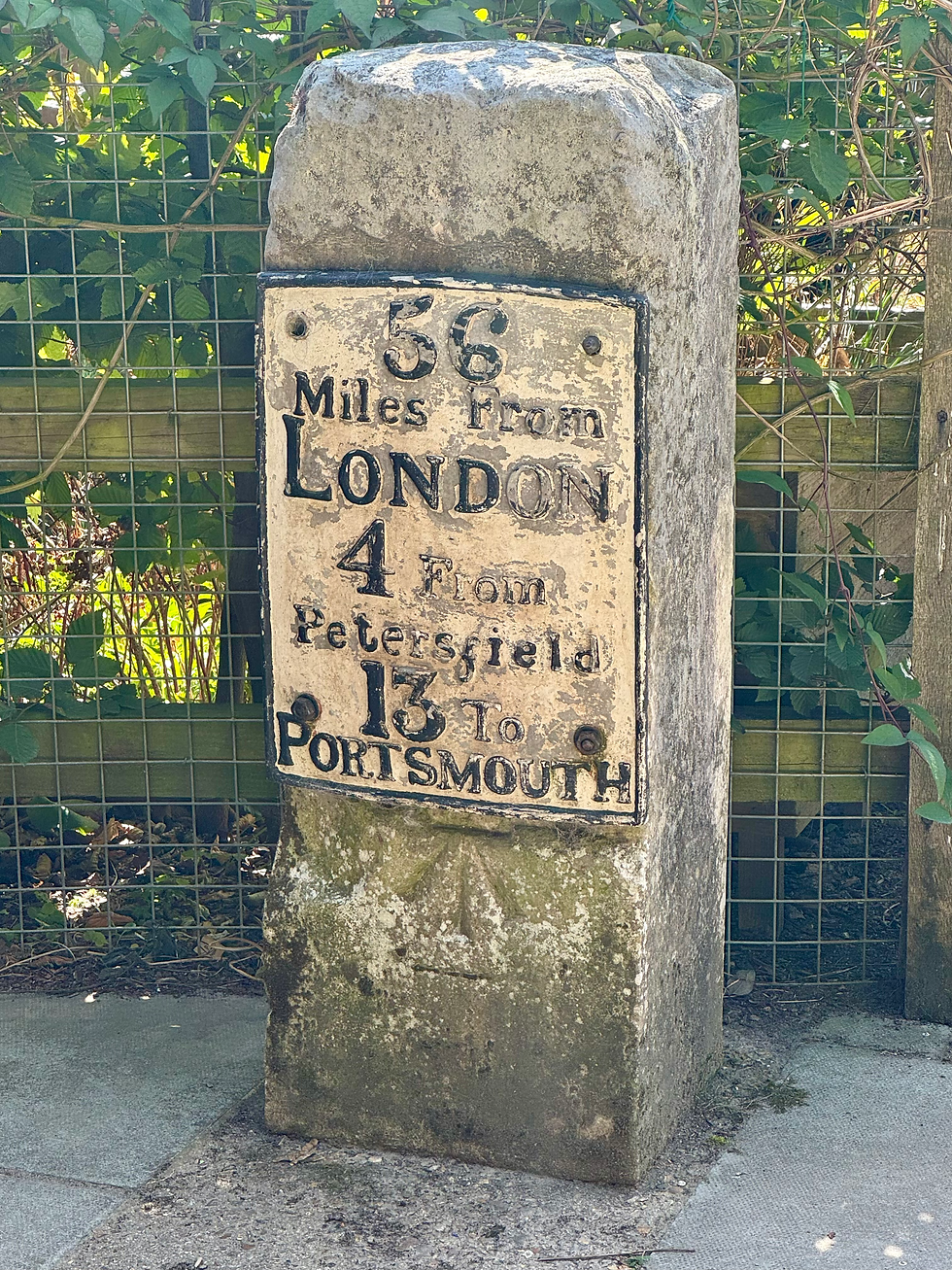
A bit further on, we enter the Queen Elizabeth Country Park. The park consists mainly of beech woods planted in the 1930s and was officially opened by Queen Elizabeth II in 1976. It is extremely well appointed with cycling routes, mountain bike training areas and a well-equipped Visitor Centre with toilets. It also contains three long distance walks: the South Downs Way, which runs with the Staunton Way, and the Shipwrights’ Way. The Staunton Way connects the Queen Elizabeth Country Park with the Staunton Country Park near Havant, forming a 21 mile circular route. The Shipwrights’ Way is a 50 mile trail from Alice Holt Forest to Portsmouth Historic Dockyard. Oak grown in Alice Holt Forest was used for shipbuilding in Portsmouth in Tudor times. We follow the Shipwrights’ Way as it makes a bee-line for the Visitor Centre and its’ excellent cafe, complete with an old A3 milestone. We also meet our two compadres again there
We leave the cafe and walk under the busy A3. It’s then up a grassy slope to Butser Hill with views across the road and down to Portsmouth and the Isle of Wight. The trig point is yet again off the route

At 270 metres, Butser Hill is the highest hill in the South Downs and so the highest point on our walk. We see the two women from earlier for the last time as they are parked here. It should be all downhill from now on.

We start off fine and, after a while, my sister Janet rings to wish me a happy birthday. We then carry on, having some flapjack on the way. As the hours pass, the road seems interminable and we arrive at the Thomas Lord pub in West Meon at ten past eight, exhausted. It’s been a very different sort of birthday.

Total distance: 91.5 miles


Comments