Day 10: Thornby to Ashby St Ledgers 10.5 miles

We make our own breakfast from the food provided in the Red Lion Barn Accommodation, then get on our way. We decide to take a slightly longer route via a footpath near the church, but this is choked with weeds, so we elect to follow the A5199 for a short distance before picking up an unclassified road that ever leads to an excellent track across the countryside. Today’s walk is a short, graceful line between the two villages almost entirely on footpaths.
One field we enter has a group of bullocks at one end. They repeatedly canter across the footpath, either confused or excited by our presence. We hop over the stile and they continue to eye us up curiously.

We then walk along a ridge with great willowherb blooming beside us. The paths are wide and clear here, although there are some high, double stiles.

Eventually, we reach the A428 and cross it to enter the village of West Haddon. We pass by a mini roundabout specially decorated to celebrate the World Cup, and pass the three pubs, two beauty salons and a barbershop before reaching the only food shop in the village. This turns out to be incredibly well-stocked and we pick up lunch as well as some vegetable samosas.

In West Haddon, we start to follow the Jurassic Way. The Jurassic Way is an 88 mile walk along an ancient ridgeway from Banbury in Oxfordshire to Stamford in Lincolnshire, the majority of it crossing Northamptonshire. We will follow the path for the rest of the day as it matches our planned line. We soon stop in a field for a break, as the vegetable samosas are calling to us. We both feel extraordinarily revived after eating them. There is a sign on entering the field saying no kite flying, but the birds above us haven’t read it. There’s a green woodpecker nearby too.
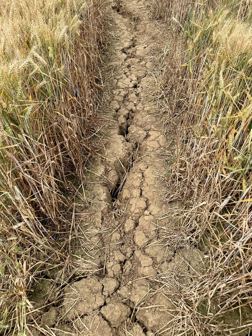
The path is good, although in Northamptonshire the paths on the map don’t always accurately reflect the paths on the ground. Generally, this is not a problem as they are either obvious or well-marked. The ground is dry and cracked though as it hasn’t rained for weeks here and the temperatures are consistently high.
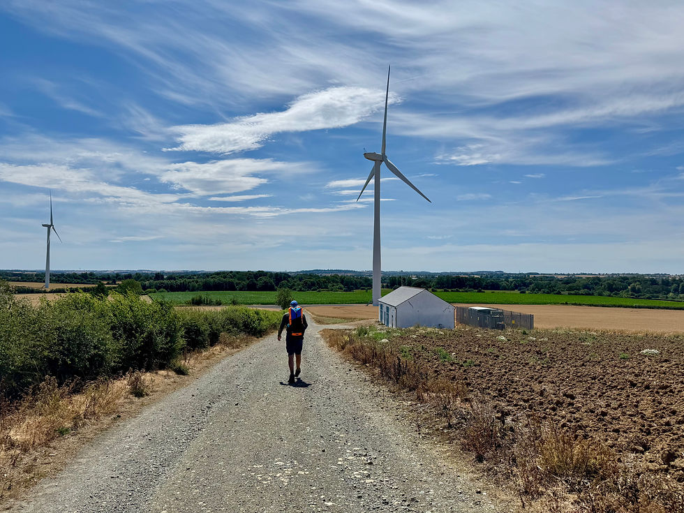
As we get to the top of a hill, we reach Watford Covert with its majestic wind turbines. Here we meet several hares running this way and that across the fields.
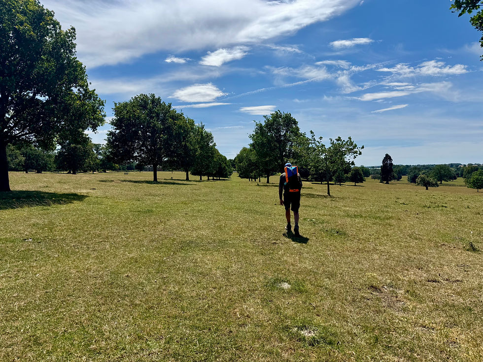
We drop down the hill, under an ornate railway bridge and enter the grounds of Watford Park. These are the remains of the landscaped park and gardens of Watford Court, a late 16th century country house that was demolished in 1974. We appear to be walking along a great, grassy avenue that should lead to a great house that isn’t there.
We then enter the village of Watford (not that one) and head into the churchyard for lunch. There is a bench there, but it’s black iron situated in direct sunlight, so we find a shaded, grassy corner close to a wall.

When we wake up, we soon pick up a path again and make our way under the M1, Britain’s first interurban motorway running from London to Leeds. It’s hard to believe that this beautiful countryside is so close to a major trunk road. A bit further on we cross the Grand Union Canal via a surprisingly small lock bridge. We complete our major traverses by crossing the A5, at this site once part of the Roman road of Watling Street that linked Dover to Wroxeter.
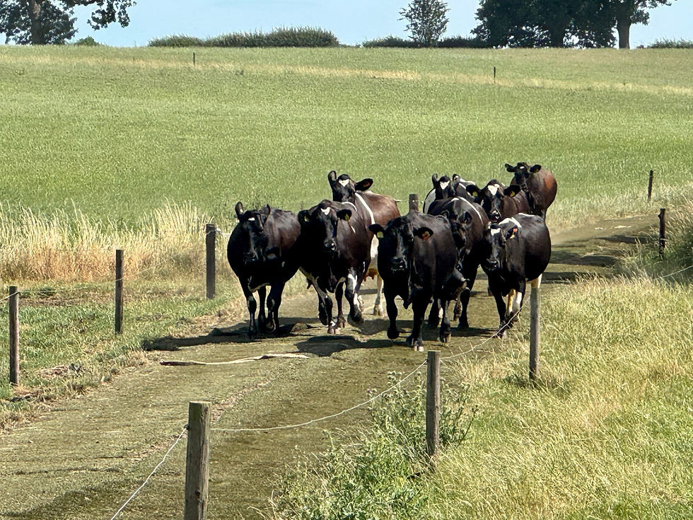
We reach another section of the Jurassic Way that isn’t quite the same on the ground as on the map. We come across some cows running towards milking who, like the bullock earlier, are a bit perturbed by our presence.
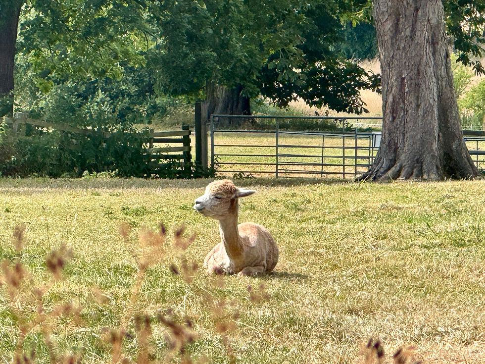
After a few on the ground adjustments, we get back on the right path and enter the village of Ashby St Ledgers, passing by a field of alpacas on our way to the cool rooms of the Olde Coach House, our stop for the night. It’s been a shorter day today, but the next two are long, so we’re glad of an early finish.
Total distance: 136 miles


Comments