Day 14: Stratford-upon-Avon to Bishampton 14 miles

We have an early breakfast then leave the Hotel Indigo with some regret. We were staying in the modern air-conditioned section of the hotel, but it still incorporates some older areas, including the Falcon Inn which has been trading since 1655. It’s cooler than two days ago and there are some wispy clouds in the sky, so we’re hoping for less challenging weather today.
We head down to the River Avon and pick up the Monarch’s Way. We have met the 625 mile trail before in Somerset. It follows the route supposedly taken by Charles II following his defeat at the Battle of Worcester in 1651.
The Monarch’s Way then crossses to take the south side of the river, while we stay on the north, following Shakespeare’s Avon Way, an 88 mile route from Naseby to the Avon’s confluence with the Severn at Tewkesbury.
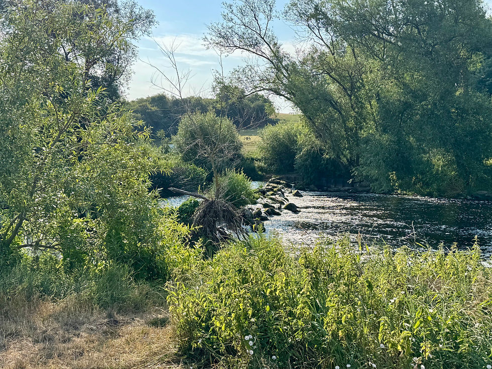
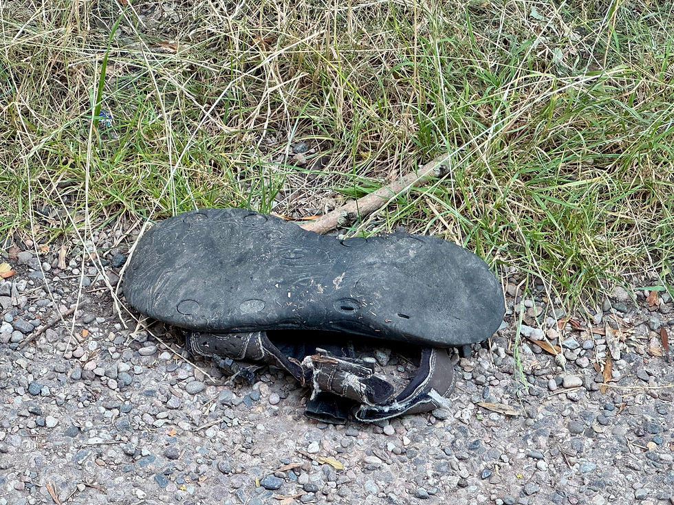
We follow the river for some time, past Stratford National Hunt Racecourse, spotting swans, ducks, goldfinches, a trio of cormorants and an abandoned sandal. As the Monarch’s Way heads south, we and Shakespeare’s Avon Way cross the river to join the south bank.
We soon arrive in the village of Welford-upon-Avon where we buy lunch, some vegetable samosas and Lipton’s lemon ice tea that we sit an a bench and drink before quickly carrying on.
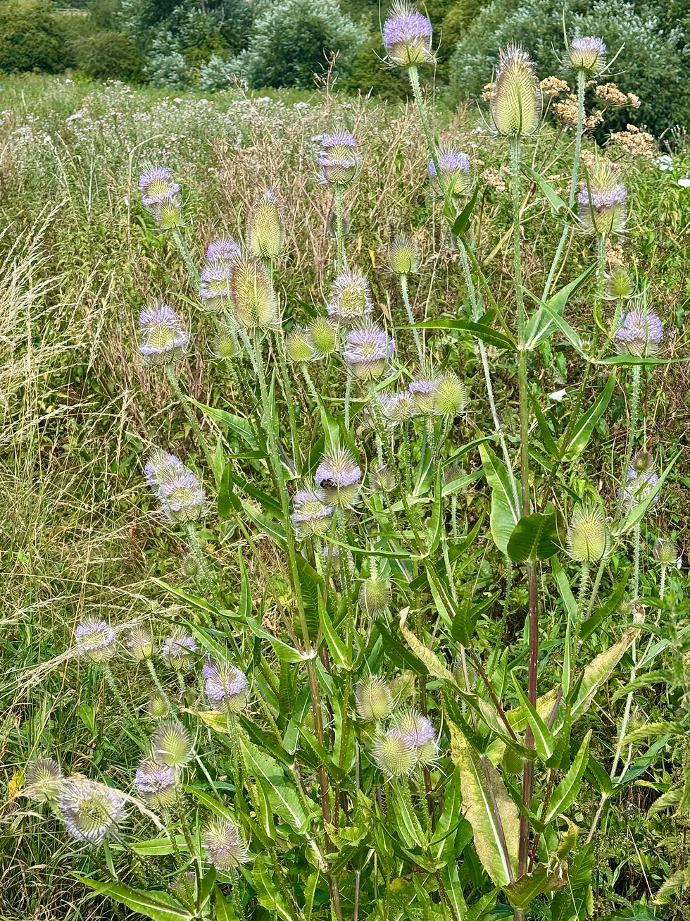
We head back to the river and, although it starts well, the path soon starts to deteriorate. Someone has tried to beat it back, but the vegetation has regrown with a vengeance and the stingers here are taller than Richard. I take off my hat, to use as protection for my face and promptly get snagged on burrs. It could be worse, I coukd have got caught on some Wild Teasel.

When we emerge from the undergrowth, we take a track towards the road and soon find a shady spot for a mid-morning break. Unfortunately, I sit down on an ants’ nest
When we get up and head back into the sunshine, we immediately feel the heat bearing down on us. We follow the road for a bit, the heat radiating off the tarmac, passing by Dorothy’s Wood, part of the Heart of England Forest. This is a charitable project that aims to conserve and create broadleaved woodland. It currently covers 9,000 acres, but the target is 30,000, half the size of Birmingham.
We’re soon walking across an exposed field to cross back over the river into the village of Bidford-upon-Avon. We decide to stop at The Frog pub for some orange juice and tonic and an opportunity to cool down. Before we leave, we dowse our sunhats in water.
We leave Shakespeare’s Avon Way now and head out, past the Bidford Banners, on the B439.

This takes us across the River Arrow up to the A435. Rich tells me this is a dual carriageway, but in fact it has three lines at this point. We dash quickly across and pick up an unclassified road on the other side that leads to Salford Priors. This is a pretty hamlet of thatched cottages, one of which has a thatched cat on its roof. Thatched animals are called finials and there are various theories as to why they were created. Traditionally, it is thought that they were the mark of the thatcher though it has been suggested that they are to ward off witches or evil spirits. These days, they are just commissioned by the householder. Maybe that was always the case.

We take a track out of Salford Priors, but soon start to overheat again, so stop for an extended lunch hour. We then follow the track to the B4088, follow this for a short while, then take a footpath that passes through Goll’s Nurseries. This garden centre starts off with an aviary but soon the path goes past rows of bizarre statuary, from a decapitated horse’s head and weeping angels to a miniature Virgin Mary and several Buddhas, with everything in between. Most unusual are an oversized Native American statue and a life-size gorilla.

From here, it’s a slow trudge uphill to Salford Coppice. This is where we leave Warwickshire and enter Worcestershire, the county of Richard’s birth (though Stourbridge is now in the West Midlands). There are also stunning views of Broadway and Cleeve Hill in the Cotswolds, and the Malvern Hills. The land is becoming more broken and interesting.
We follow a fantastic ridge down to Atch Lench, where there is a thatched owl finial, and then on to Church Lench, crossing the Wychavon Way. This is a 40 mile route starting at Droitwich Spa and ending at Broadway and lies entirely within the Wychavon District.

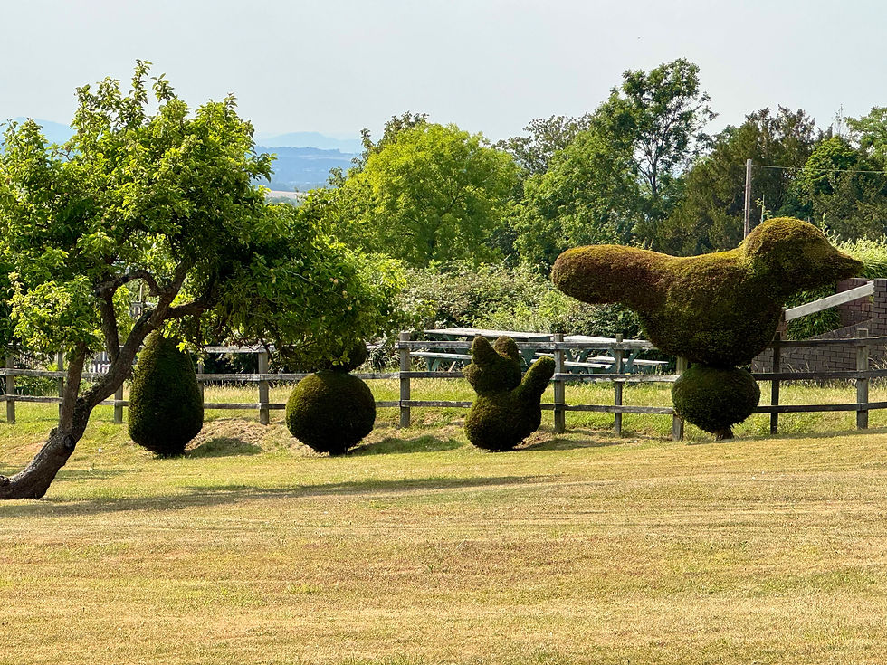
We then take a path cutting across the grain of the land, past some animal topiary (what is it with statuary here?) and a golf course, eventually picking up an unclassified road into Bishampton, taking another heat break along the way.
We stop for another cold drink at the brilliant Londis in the village, then arrive at the lovely Nightingale Farm B&B, our stop for the night. Last day tomorrow and it’s still going to be hot.

Total distance: 181 miles


Comments