Day 12: Southam to Stratford-upon-Avon 19 miles

We get up at 5am, as it’s a long day and the forecast is for over 30 degrees Celsius in the afternoon. As we leave 1, Abbey Lane at 6.30, the air is already warm, there is not a cloud in the sky and hardly a breath of wind. It’s definitely going to be a hot one.
We start off down a lovely footpath into a valley and up the other side. There is evidently the oldest recorded holy well in England somewhere here, but we don’t spot it. We pass a little lamb by the side of the track and then exit onto the A425, at which point our route plans evaporate.

Across the road should be our footpath to Harbury, but it’s a building site thanks to HS2. There is no alternative path given but a kind local suggests we follow her back on another path. From there, we can get to the village of Ufton and then we can go on to Harbury. It’s a massive loop round and will lose us about an hour but the only alternative would be to walk along the busy A425 that has no pavement.

We are now back on the Harry Green Way. We first met this trail yesterday and it’s a 20 mile route linking the villages around Southam. It was devised by Harry Green in 1988 and was updated by the Southam Ramblers during lockdown. It is one of the shortest recognised long distance walks in the country.
We pass the Dallas Burston Polo Club, a 600 acre site that was once used as a backdrop for a Made in Chelsea episode, and then cross the B4452 to reach an altogether different site. This is a small-holding with various Keep Out signs, as well as chickens, pigs, a collection of old road signs, a broken highway maintenance van, an abandoned caravan and, of course, a sofa. At this point, Rich worries whether the HS2 works might disrupt this route too, but aerial views show that the track appears to pass through a tunnel under the hill here.
We carry on in a wheat field beside Ufton Wood, then pass through the village itself to pick up the Centenary Way, a 100 mile Warwickshire path that runs from Kingsbury Water Park to Upper Quinton. It should really be call a Centenary Way because there are at least two others: one in Yorkshire and one in Epping Forest. There may well be more.

We quickly arrive at Harbury, where another local gives us route advice and we pick up cold Lipton’s peach ice tea and San Pellegrino Limonata at the air-conditioned Co-op to supplement our water. We briefly stop to drink the ice tea, then head off out of the village. After a little while further, Rich spots a beautiful shady spot and we stop for a break. We then head off on a footpath in the direction of Chesterton, spotting the distinctive tower windmill, until we reach and cross an unclassified road to find a path on the other side. There is a similar tower windmill on Rhode Island, thought to have been built by Benedict Arnold in 1676. The Arnold family came from near Leamington and it is believed that the Rhode Island windmill was based on the one at Chesterton.

The paths on the other side of the road are confusing and, although we follow the line on the map, there is no field exit at the expected site. We could follow a track but that will lead us directly to the M40, understandably forbidden to pedestrians. We therefore double back (again) to leave via a different gate and walk along the road for a while. Eventually, we reach the B4455, the Roman Fosse Way from Exeter to Lincoln, and our route across the M40.
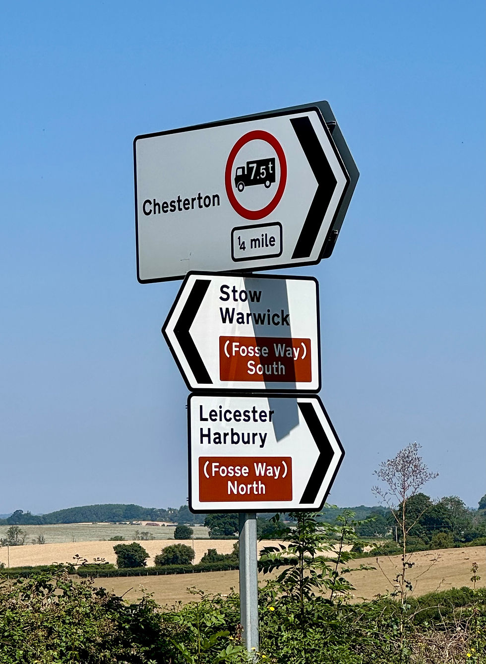

We take our lives in our hands to cross a busy roundabout and head up a steep hill and down the other side (gradient arrows on the map) towards Ashorne. As we arrive at a crossroads, it says that the road ahead is closed. It might be heatstroke, but we decide to go that way anyway. We’ve lost enough time already today. We are rewarded by an easy way through but, sadly, the pub in Ashorne has closed down and there is no shop to buy more drinks. We head off out on a footpath towards Newbold Pacey.

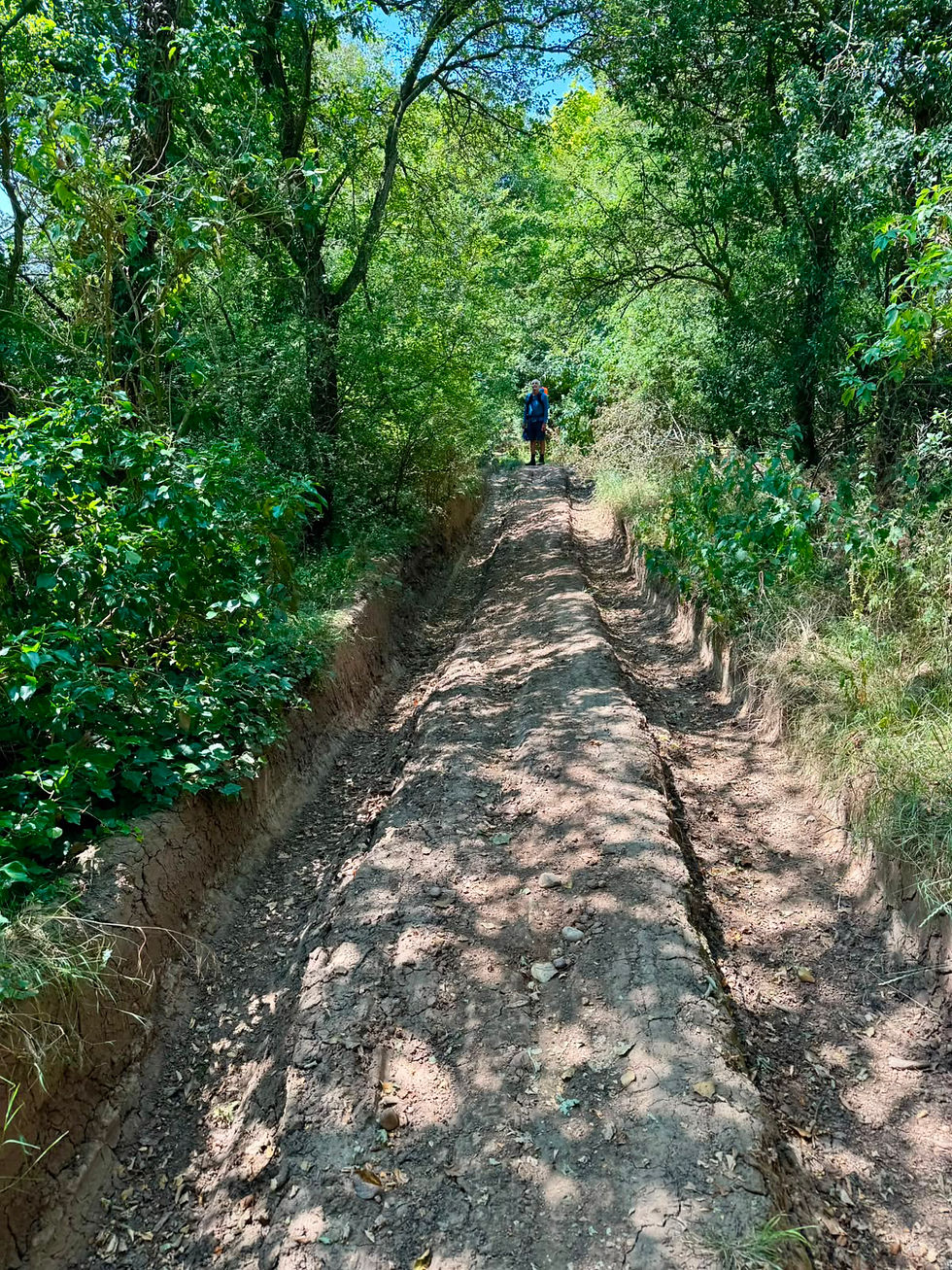
We pass Newbold Pacey Hall and then take a path past a massive solar farm. Sheep are grazing and seeking shade beneath the solar panels, proving that conventional and green energy farming can comfortably co-exist. The path, which is also a cycle way, is now deep with ruts and the relentless sunshine means that we are starting to overheat. We will need frequent stops for the rest of the day.
We soon cross the A429 to enter the Wellesbourne campus of the University of Warwick. This boasts all sorts of interesting things including a quarantine field and the UK Vegetable Gene Bank. This contains about 14,000 samples of vegetable crop seed, mainly focusing on leafy and root vegetables, including carrots, cauliflower, onions, cabbages and lettuce. We pass a bit further on and find some shade where we break for our lunch (and to cool down).
Next, we make our way to the village of Charlecote. It’s not far but we stop at the Pheasant Hotel for a pint of orange juice and tonic and to douse our sun hats in cold water. We also briefly visit Charlecote park, a 16th century country house and deer park, to use the facilities before heading off back down an unclassified road.

We turn off to the hamlet of Hunscote and then follow a track to reach an unclassified road. There is a sign on the path with a pink arrow: ‘Walks around Wellesbourne and surrounding area.’ These route signs are beginning to stretch credulity. We stop again for a cool down on the way and I somehow manage to get stung by a wasp on my back. The soil here is now turning to the red clay of the midlands.

We leave the track by climbing a locked gate to reach an unclassified but busy road that we follow for two more miles into Stratford. On the way, we partake of the first blackberries of the season, still warm from the sun. We make our way into town (receiving some odd looks - maybe they can smell us) and the Indigo Hotel, our base for the rest day tomorrow. Our room is cold and dark and has an excellent shower. We soon begin to feel human again.

Total distance: 167 miles


Comments