Day 11: Ashby St Ledgers to Southam 12 miles

Ashby St Ledgers is most famous for being the home of Robert Catesby, one of the gunpowder plotters. He and his fellow conspirators planned their activities at Ashby Manor House. The rooms at The Olde Coach House are named after them. We stayed in Guy Fawkes room.
We have breakfast then leave the luxury of The Olde Coach House and head off along the unclassified road to cross the A361 and pick up another excellent path across a field. The gradient is heading downwards and we have now crossed the watershed. From hereon in, the rivers and streams no longer flow into The Wash, but instead drain into the Avon.

We are still on the Jurassic Way here and it coincides with another route we noticed yesterday, the Via Beata or Way of Blessing. This is a 400 mile pilgrimage from Lowestoft to St David’s Head, passing through various sacred places, with religious art pieces along the way, not that we’ve spotted any. Given its route, I suspect that we’ll meet it again.
We keep going until we arrive in Braunston. Here we stop at the Post Office shop to get provisions. Not only does the shop have a postbox with an ornate knitted hat outside but there is a flyer in the window advertising a mole catcher: £100 for the first mole, £20 for each mole thereafter, all on a no mole no fee basis. Just below the flyer are sacks of ‘I can’t believe it’s not coal’ for sale.

The houses here are a mixture of limestone and brick as we are leaving the Jurassic escarpment. gone are the round and octagonal towered flint churches of East Anglia and the brown limestone square towered ones of Northamptonshire; here is a red-stoned Midland church with a spire. As we are walking past, we hear a familiar screech: there are peregrine falcons above us.

At Braunston, the Oxford Canal meets the Grand Union Canal and we head down to the waterside. We will follow these two waterways for the next six or so miles. Although canals were primarily associated with the Industrial Revolution, the Grand Union Canal in its current form only came into being on 1st January 1929. Throughout the twentieth century, however, commercial canal traffic continued to decline. Even so, the Grand Union Canal was used for goods transportation until 1995. In contrast, the Oxford Canal was completed in 1790 and ceased commercial use in the 1960s. Both canals are now used for leisure boating and there are plenty of narrowboats out today.

There are plenty of waterfowl and their young on the canals; mallards, swans, Canada geese and moorhens. One moorhen chick tries to scramble up the galvanised steel edging close to us, fails and falls back into the water with an unceremonious splash before going to rejoin its family. We soon stop for a break under the dappled shade of a tree.
We are woken by the engine of a narrowboat and start off again down the towpath. The path, which was excellent, gets narrower as we head away from habitation and it parts becomes both overgrown and slipping into the water. At one point, Rich ends up on his hands and knees again; I am short enough to duck.

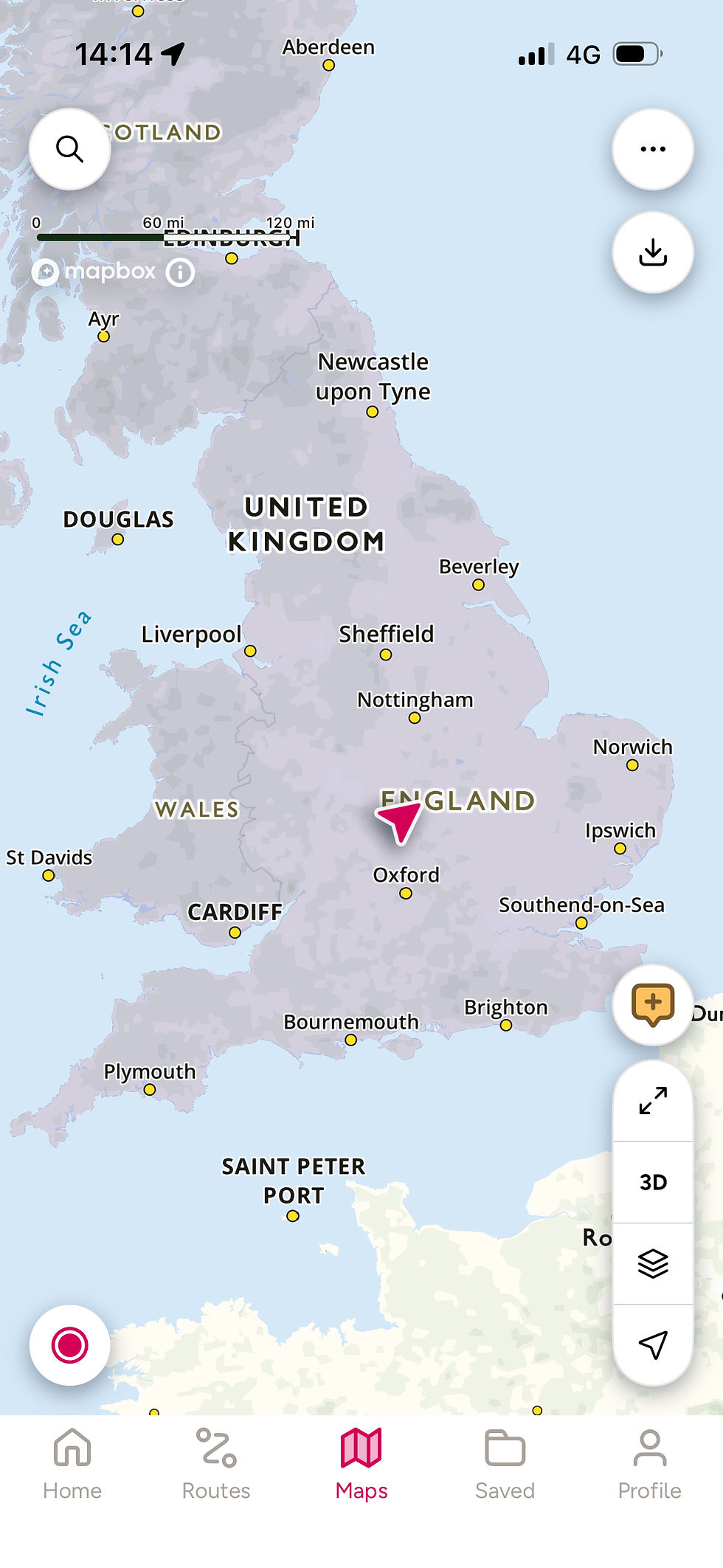
We keep going until we reach Napton Junction, where the two canals separate. There is a marina here but sadly no cafe. We cross a bridge and keep looking for a suitable lunch spot. We find a fairly shady patch and stop there, only to be disturbed by ants. We move on a little further, but it’s all a bit unsatisfactory. Rick points out we’re pretty much in the centre of England. We have also just entered Warwickshire.
We start up again and notice it’s getting really hot again. We intend to follow the canal until it meets the next long distance path, the Millennium Way, but it’s closed for repair. We could shimmy past the sign, but if it needs repair, it’s worse than what we’ve already been past, so we follow a tarmacked track until it reaches the A425.

Here we pick up the Millennium Way, a 100 mile walk between Pershore in Worcestershire to Middleton Cheney in Northamptonshire. We soon reach a stile so dilapidated it looks just like a collection of rotted firewood. At least it’s low and easy to cross. It seems in Warwickshire, footpath posts have yellow tops and bridleway able ones. The path is good across the fields, but they are very exposed and in the heat of the day, it feels like a cauldron. As we leave the Millennium Way to pick up a local bridleway, I start to overheat and we stop for some water in a welcome copse.

As we leave the trees, there’s a sign for The Blue Lias Rings ammonite fossil. The Blue Lias Rings are a series of nine interconnecting circular walks based around the Stockton, Harbury and Southam areas of Warwickshire, named after the local blue-coloured limestone. The Ammonite Walk is one of the nine. From there, it’s a short walk into Southam and 1 Abbey Lane, our lovely stop for the night.

Total distance: 148 miles


Comments