Day 9: Kettering to Thornby 19.5 miles

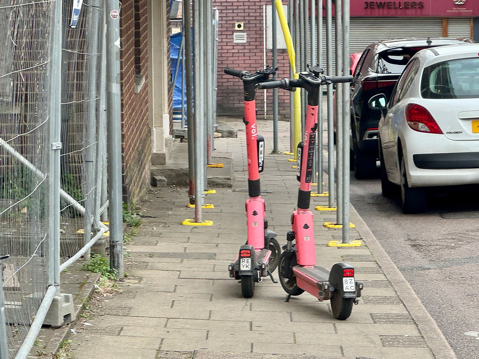
We have breakfast at The Bungalow that we had bought at Esso Tesco Express the night before and soon get on our way. We go back to the Tesco Express to buy lunch then head off into town. Kettering is very residential and, like most towns, sleepy on a Sunday morning. There are abandoned, pink Vio electric scooters scattered around but little else. The hireable e-scooters are on trial as part of a Department of Transport initiative.
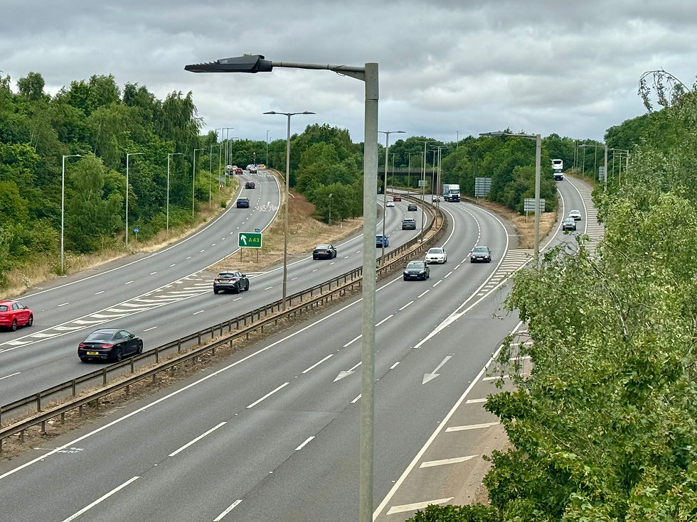
Kettering seems to cut across the lie of the land, so it’s up and down as we make our way across. It is nestled in the crook of the A14, which we cross on an unclassified road. The town is signposted on several major roads, but it has the atmosphere of somewhere rarely visited.
We follow the road up onto a ridge that gradually takes us to Great Cransley. From there, we follow a track and then footpaths to Mawsley. All around, the buildings are made of brown-tinged limestone, presumably from the local iron ore. Mawsley is a new village, where building only started on 2001. There are the remains of a Roman villa nearby and in 1086, a Hundred Court was still being held there but, by mediaeval times, the village had disappeared. It’s now being brought back to life and we can hear children playing in the gardens of the new houses. We find an inviting patch of grass and stop for a rest.

We leave Mawsley via the road past Old Poor’s Gorse. There is evidently a trig point close by but we can’t identify it. We pass by a footpath to a village called Old. It was previously known variously Walda, Wold and Wolde and the name means ‘high forest.’ It was once home to the haulage company ‘Knights of Old.’
We pass up and down to reach Faxton, also once the site of a mediaeval village, and continue to follow footpaths towards Draughton. We are now seeing flocks of sheep in the field and cross our first cattle grid of the walk. As we approach Draughton, we guess how many people we’ll see there. I go for three and Richard plumps for two people and a dog. It turns out that there is a Church event on this afternoon with cream teas and stalls, so the small village is bustling.

We head out of Draughton towards Maidwell, crossing the Midshires Way en route. This is not a Tolkienesque invention but a 230 mile route from near Bledlow in Buckinghamshire to Stockport, Greater Manchester. It links several other routes including the Ridgeway, the Pennine Bridleway and the Trans Pennine Trail. We ourselves join the MacMillan Way for a short distance, which we have met before on the HoCWalk and the HoLEwalk.
This takes us into Maidwell and the churchyard where we stop for lunch. Just as we’re walking up to the church, I see an adder slithering along the grass until it disappears under the drystone wall. Rich tells me that he has been worried that we might disturb adders as we walk through long grass. I have contemplated tics, horseflies, stingers and even twisting an ankle, but I have never worried about disturbing snakes. We have a lovely rest, but soon leave the village to join a wide track up to Haselbech Hill.

From Haselbech, there’s two miles of road walking that takes us to Naseby, site of the 1645 battle. This was the decisive battle in the First English Civil War, where the Parliamentarian New Model Army under Oliver Cromwell and Sir Thomas Fairfax destroyed the main Royalist army commanded by Charles I and Prince Rupert.
We take a footpath around the centre of the village and pick up another unclassified road into Thornby. We are now at 191 metres, the highest point on the walk so far. We go down then up into the village to arrive at the Red Lion Barn. It is a beautiful little cottage and we are served free orange and tonic. There’s even an England three lions flag flying. It’s been our longest day. We’ll be sleeping well through the match tonight.

Total distance: 125.5 miles


Comments